Q
Geography and History
1 min
Qaraghaj Historic District of Tabriz
Qaraghaj is an ancient and historic district located in Tabriz.
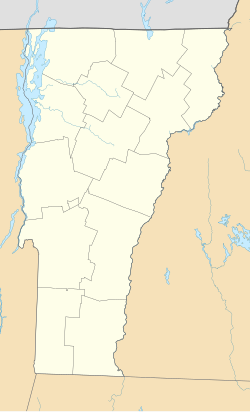
West Hartford is an unincorporated community village located within the town of Hartford, in Windsor County, Vermont, United States. Situated along the White River and crossed by the Appalachian Trail, it is one of the five distinct villages that make up the town of Hartford.
The central core of the community is recognized as a historic district on the National Register of Historic Places, designated as the West Hartford Village Historic District. Although the village no longer operates a post office, it maintains a local public library and a community park.
West Hartford is situated in the northern sector of the town of Hartford, positioned roughly seven river miles upstream from the mouth of the White River where it flows into the Connecticut River. Its geographical coordinates are 43° 42′ 44″ North, 72° 25′ 7″ West. The White River runs directly through the village, flowing alongside Clifford Park.
The settlement of West Hartford dates back to the late 18th century, initially growing around local mills and surrounding agricultural lands. The oldest surviving residential structure in the community was constructed in 1795 by Francis and Abigail (Hazen) Savage. A turnpike, which later became Vermont Route 14, was established along the river in 1800.
During the 19th century, the village expanded following the construction of a bridge across the White River in 1820 at Harper Savage Lane, followed later by a nearby railroad station. Proximity to the major regional railroad hub of White River Junction helped the local economy thrive. However, a severe flood in 1867 destroyed much of the community's early industry, though retail trade persisted due to the railroad.
Subsequent floods impacted the area, including high water events in 1927 that swept away the former covered bridge, which was later replaced by a steel truss bridge. In 2006, that structure was superseded by the single-span Veterans Bridge. On August 28, 2011, the village sustained significant damage from Tropical Storm Irene, which affected local residences, the community library, roads, and Clifford Park. Recovery efforts subsequently restored the damaged infrastructure, public park facilities, and municipal buildings.
Clifford Park is a municipal park maintained by the town, offering nature trails, a softball field, horseshoe pits, and riverfront picnic areas. The park serves as a seasonal landing site for hot air balloons originating from the Quechee Balloon Festival and hosts community recreation events.
West Hartford is an unincorporated village in the northern part of the town of Hartford, located in Windsor County, Vermont, along the White River.
Qaraghaj is an ancient and historic district located in Tabriz.
Woodstock is the county seat of Windsor County, Vermont.
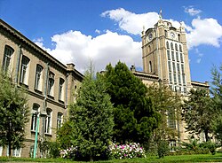
Tabriz is the capital of East Azerbaijan Province and the sixth-most-populous city in Iran.