Geography and History
3 min
West Hartford Village, Vermont
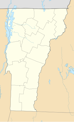
West Hartford is an unincorporated village located in the town of Hartford, Windsor County, Vermont.
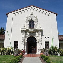
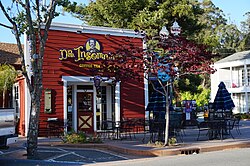
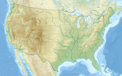
Novato is a city located in the North Bay region of the San Francisco Bay Area in Marin County, California. As of the 2020 census, the city had a population of 53,225. Known for its diverse geography ranging from mountainous terrain to marshlands, it serves as a significant residential and cultural hub within the county.
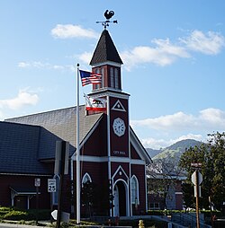
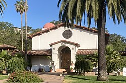
The region was originally inhabited by the Coast Miwok people, with established villages such as Chokecherry, Puyuku, and Olómpali. During the Mexican era, the land was divided into several large ranchos, including Rancho Novato, which was granted to Fernando Feliz in 1839. The name Novato is derived from a local Miwok leader who was baptized with the name of Saint Novatus.
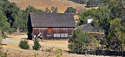
Following the American acquisition of California, the area saw the development of agriculture, particularly orchards and vineyards. The arrival of the railroad in 1879 spurred the growth of the "New Town" area near the depot, which eventually merged with the older settlements. Novato officially incorporated as a city on January 20, 1960.
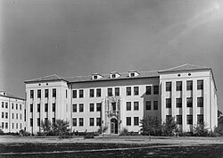
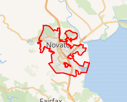
Spanning approximately 28 square miles, Novato is the largest city by area in Marin County. Its landscape is varied, with the southwestern region characterized by mountainous terrain, including Big Rock Ridge, while the eastern portion consists of marshlands and pastures near San Pablo Bay.
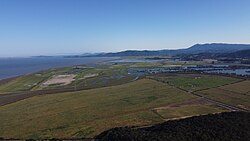
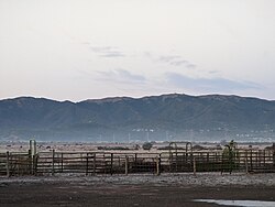
In the mid-20th century, Novato became known for community-building events like "Western Weekend." The city also gained cultural recognition as a temporary home for members of the Grateful Dead, particularly around the Rancho Olompali area. Additionally, Novato is recognized as one of the historical birthplaces of American enduro mountain bike racing.
Novato was officially incorporated as a city on January 20, 1960.
"1990 Census of Population - Population and Housing Unit Counts - California" (PDF). United States Census Bureau. Archived from the original (PDF) on January 26, 2025 – via Wayback Machine.
"1980 Census of Population - Number of Inhabitants - California" (PDF). United States Census Bureau. Archived from the original (PDF) on January 26, 2025 – via Wayback Machine.
"1870 Census of Population - Population of Civil Divisions less than Counties - California - Tehama County to Yuba County" (PDF). United States Census Bureau. Archived from the original (PDF) on February 2, 2025 – via Wayback Machine.
"County of Marin District 4 webpage". County of Marin. Retrieved February 7, 2020.
"Novato city, California; DP03: Selected Economic Characteristics - 2023 ACS 5-Year Estimates Comparison Profiles". US Census Bureau. Retrieved June 25, 2025.
Brøderbund Software, Inc. Company History
"Novato Water". North Marin Water District. Retrieved May 2, 2024.
"Annual Novato Holiday Tree Lighting" (PDF). Downtown Novato. Retrieved January 8, 2024.
"SAN RAFAEL CIVIC CTR, CALIFORNIA - Climate Summary".
"2020 Decennial Census Redistricting Data (Public Law 94-171)". United States Census Bureau. 2021. Retrieved April 18, 2026.
West Hartford is an unincorporated village located in the town of Hartford, Windsor County, Vermont.
Qaraghaj is an ancient and historic district located in Tabriz.
Woodstock is the county seat of Windsor County, Vermont.