Geography
2 min
Pietroasele
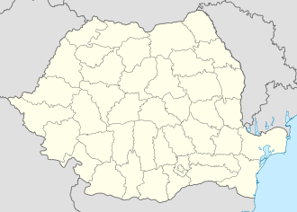
Pietroasele is located in Buzău County, Romania, and consists of six villages.
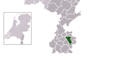
Heerlen is a city and municipality located in the southeastern part of the Netherlands, within the province of Limburg. It serves as a major urban center in the Parkstad Limburg region, an agglomeration encompassing eight municipalities with a combined population of approximately 250,000 residents. Situated east of Maastricht and north of the German city of Aachen, Heerlen has evolved from a Roman settlement into a significant industrial and cultural hub.
The history of the area dates back to the Michelsberg culture (4400–3500 BC), evidenced by unique archaeological excavations at the Schelsberg. However, the city's formal history began with the Roman military settlement of Coriovallum, established at the intersection of major trade routes connecting Boulogne-sur-Mer to Cologne and Xanten to Trier. The discovery of a Roman bathhouse (thermae) in 1940, now housed within the Thermenmuseum, underscores the site's historical importance.
Following the Roman period, the region saw agricultural development in the Middle Ages. The name 'Herle' first appeared in official documents in 1065. Throughout the centuries, the territory was subject to various authorities, including the dukes of Brabant and the Spanish Netherlands, before eventually becoming part of the Dutch Republic following the 1661 Partage Treaty.
Heerlen remained largely agrarian until the late 19th century. The discovery of coal in 1874 and the subsequent arrival of the railway in 1896 catalyzed a rapid industrial transformation. The national government's decision in 1901 to establish state-operated mines led to a population explosion, growing from 6,646 in 1900 to over 32,000 by 1930. This era of expansion significantly altered the city's architectural landscape.
In the 20th century, the architect Frits Peutz became instrumental in the city's modernization. His most notable work, the Glaspaleis (Glass Palace), remains a landmark of modern architecture and is recognized as one of the most significant buildings of the 20th century. Today, Heerlen balances its industrial heritage with a focus on urban renewal and cultural development within the broader Parkstad Limburg region.
The name first appears as 'Herle' in a document from 1065, referring to an allodium in the bishopric of Liege.
"Bevolkingsontwikkeling; regio per maand" [Population growth; regions per month]. CBS Statline (in Dutch). CBS. 1 January 2021. Retrieved 2 January 2022.
Heerlen Archived 20 February 2006 at the Wayback Machine
L1 - nieuws en sport uit Limburg Archived 17 July 2011 at the Wayback Machine
"Postcodetool for 6411HP". Actueel Hoogtebestand Nederland (in Dutch). Het Waterschapshuis. Archived from the original on 21 September 2013. Retrieved 12 October 2022.
Dorpsfiguren en notabelen Archived 2004-10-21 at the Wayback Machine
Beschrijving route Archived 26 September 2007 at the Wayback Machine
IMDb Database retrieved 26 February 2020
"Kerncijfers wijken en buurten 2020" [Key figures for neighbourhoods 2020]. StatLine (in Dutch). CBS. 24 July 2020. Retrieved 19 September 2020.
"Burgemeester Paul Depla" [Mayor Paul Depla] (in Dutch). Gemeente Heerlen. Archived from the original on 13 October 2013. Retrieved 12 October 2022.
"Bevolkingsontwikkeling; Regionale kerncijfers Nederland" [Regional core figures Netherlands]. CBS Statline (in Dutch). CBS. 1 January 2020. Retrieved 8 March 2021.
Pietroasele is located in Buzău County, Romania, and consists of six villages.
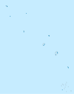
Nanumanga is a reef island in Tuvalu with a land area of approximately 3 square kilometers.
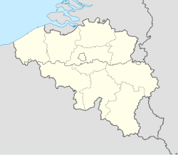
Kinrooi was formed in 1971 by merging the municipalities of Kinrooi, Kessenich, Geistingen-Ophoven, and Molenbeersel.