Geography
2 min
Mulgrave Suburb History and Geography
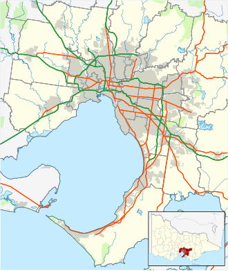
Mulgrave is located 21 kilometres south-east of Melbourne's central business district.
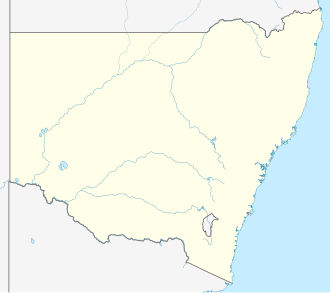
Cobargo is a rural village located in the south-east of New South Wales, Australia, within the Bega Valley Shire. Situated along the Princes Highway between Narooma and Bega, the village lies approximately 383 kilometres south of Sydney. According to the 2016 census, Cobargo recorded a population of 776 residents.
The village streetscape features a collection of turn-of-the-century buildings. In the early 21st century, Cobargo evolved from a quiet rural settlement into a destination for travelers, featuring local craft shops, potteries, art galleries, antique stores, and tearooms. Wadbilliga National Park is located approximately 20 kilometres west of the village.
Cobargo is positioned on the Princes Highway, roughly 41 kilometres north of Bega and 19.4 kilometres inland from the coastal town of Bermagui. The village functions as a local hub for nearby rural localities including Coolagolite, Wandella, Yowrie, and Dignam's Creek. The name Cobargo is believed to originate from the local Indigenous Australian term 'cubago', historically used to describe nearby Mount Gulaga.
The region traditionally lies on the lands of the Yuin people. European exploration of the district began in the late 1820s when graziers sought new pastures for cattle. William Duggan Tarlinton explored the district in 1829 and later established slab and bark huts in the area. By the late 1830s, the Imlay brothers held substantial properties in the district, and around 1840, Alexander Imlay named his property Cobargo.
During the late 1860s, the settlement was known as 'The Junction' because it sat at the meeting point of Narira and Bredbatoura Creeks. A local school opened in 1871, alongside a post office, store, hotel, church, and blacksmith operations. Infrastructure improvements in the 1880s, including a bridge over Narira Creek built in 1882, supported local expansion. A community newspaper, the Cobargo Watch, was established in the 1890s. A cooperative butter factory opened in 1901 and operated until 1980, while a branch of the Bank of New South Wales opened in 1903.
Throughout much of the twentieth century, the village experienced economic decline as improved transportation networks allowed residents and businesses to access larger regional centers. However, tourism revitalization in the late 20th and early 21st centuries helped support local businesses.
On 31 December 2019, parts of the main street were severely impacted by severe bushfires that swept across the region, resulting in structural damage and fatalities.
Cobargo is situated in south-east New South Wales along the Princes Highway, within the Bega Valley Shire between Narooma and Bega.
Australian Bureau of Statistics (27 June 2017). "Cobargo (state suburb)". 2016 Census QuickStats. Retrieved 9 July 2017.
Studies, Australian Institute of Aboriginal and Torres Strait Islander (10 January 2021). "Map of Indigenous Australia". aiatsis.gov.au. Retrieved 22 March 2022.
"Cobargo, NSW". Aussie Towns.
Smee, Ben (31 December 2019). "NSW fires: two men dead, one missing and homes destroyed by bushfires on south coast". The Guardian. ISSN 0261-3077. Retrieved 31 December 2019 – via www.theguardian.com.
Burnside, Niki; Pengilley, Victoria (31 December 2019). "'We've got no water left so we weren't able to defend,' says local after blaze engulfs NSW town". ABC News. Retrieved 31 December 2019.
Staff; agencies (2 January 2020). "Scott Morrison heckled after he tries to shake hands with bushfire victim, local Cobargo women Zoey Salucci Mcdermott in the NSW town of Cobargo". The Guardian. ISSN 0261-3077. Retrieved 2 January 2020.
"Australia wildfires: PM Scott Morrison heckled by angry residents in Cobargo, New South Wales". Sky News. Retrieved 2 January 2020.
"Cobargo, New South Wales" (Map). Google Maps.
Cobargo Folk Festival
Mulgrave is located 21 kilometres south-east of Melbourne's central business district.
The Cobargo Chronicle was established on 18 November 1898 by William Boot.
Qarehlar is also known by the alternative name Urshanabad.